
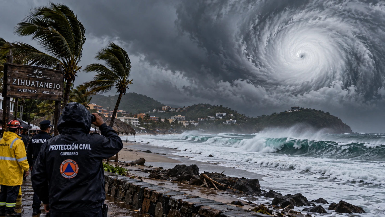
Hurricane Polo has intensified into one of the strongest storms seen in the Pacific in recent decades, with forecasters warning that it could strengthen into a Category 5 hurricane as it moves near Mexico’s southwestern coast.
The US National Hurricane Center (NHC), based in Miami, said data from a NOAA Hurricane Hunter aircraft that flew into the storm showed Polo had maximum sustained winds of 175 mph (280 kph), making it an “extremely dangerous” hurricane.
Polo is the third Category 5 hurricane in the eastern Pacific this season, after hurricanes Genevieve and Lorena. Category 5 is the highest level on the Saffir-Simpson Hurricane Wind Scale, defined by sustained winds of at least 157 mph (253 kph).
As of Tuesday evening, Polo was nearly stationary over the Pacific Ocean, about 215 miles (345 km) south of Zihuatanejo, Mexico. The NHC said the storm was expected to move generally west-northwest over the following days.
The powerful hurricane has raised fresh concerns along Mexico’s Pacific coast, which has been repeatedly hit by major storms in recent years. Coastal beaches were largely deserted as dark clouds gathered over rough seas, while authorities temporarily closed schools in several areas as a precaution.
Kristen L. Corbosiero, a professor in the Department of Atmospheric and Environmental Sciences at the University at Albany, described Polo as one of the strongest storms in the history of the Pacific basin.
Mexican President Claudia Sheinbaum said during her morning press briefing that experts indicated the hurricane was unlikely to make a direct landfall. However, Mexico’s navy closed ports in parts of the states of Guerrero and Michoacán as a precaution and urged residents and fishermen to remain alert.
Polo is also expected to bring heavy rainfall that could trigger flash floods and landslides. Forecasts indicate that Guerrero and Michoacán could receive between 3 and 6 inches (8 to 15 cm) of rain.
Authorities continue to monitor the storm closely as it moves across the Pacific, with residents in vulnerable coastal and mountainous areas urged to follow official warnings.




COMMENTS